Exploring Melbourne’s Train Lines on Foot: A Personal Journey Through 600 Kilometers
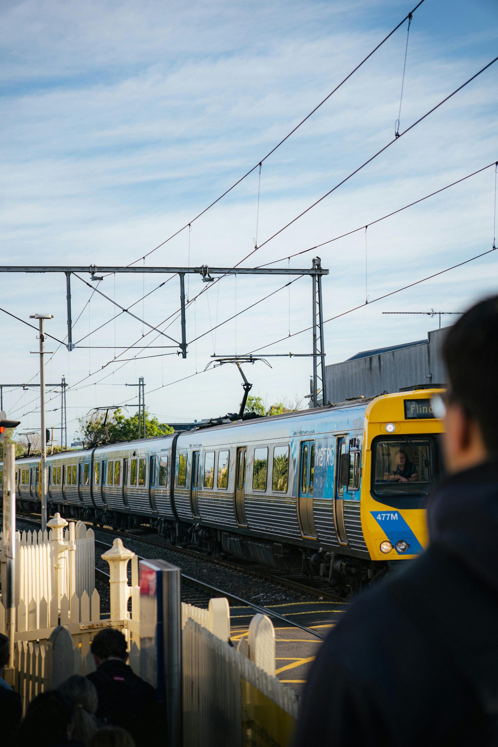
Melbourne is renowned for its extensive rail network, connecting suburbs and city centers alike. In September, I embarked on a unique exploration of this network by walking each metro train line from its terminus to Flinders Street Station (excluding the Stony Point line). Over the course of the month, I covered approximately 600 kilometers, passing by over 220 stations and dedicating around 104 hours to this project.
Throughout this journey, I maintained a strict approach: I stuck to footpaths and streets adjacent to the railway tracks, avoiding walking along the tracks themselves. This method allowed me to experience Melbourne’s diverse neighborhoods, urban landscapes, and street-level details in a new and engaging way.
For those interested in following the progress and insights from this adventure, updates are available on the Instagram page @fredos.trainline.trek.
Here are some interesting statistics from the journey:
– The hilliest line was the Hurstbridge line, offering challenging inclines and scenic views.
– The flattest route was the Upfield line, making for a relatively easier walk.
– My personal favorite to walk was the Belgrave line, thanks to its scenic surroundings.
– The longest walk was along the Pakenham line, totaling 68 kilometers.
– The shortest was the Alamein line, at 16 kilometers.
This experience provided a fresh perspective on Melbourne’s railway system and urban fabric. If you have any questions or are inspired to undertake a similar exploration, feel free to reach out.